Pico #1: Climbing Mt. Pico
The Details
We climbed Mt. Pico! This was the hardest hike/climb that I've ever done. Here are some of the notable pieces of info:
- Mt. Pico is the highest peak in the Azores and all of Portugal. It reaches an elevation of 2,351 meters (7,713 feet) above sea level.
- Mt. Pico is not the original volcano of Pico Island. The formation of Pico Island began millions of years ago through a series of successive volcanic activities. Mt. Pico first erupted around 300,000 years ago (297,976 BCE).
- Mt. Pico is a stratovolcano. Stratovolcanoes have the shape of a cone. They are often tall with a narrow base and steep slopes. Stratovolcanoes have explosive eruptions. When they erupt, the lava flows downwards around all sides of the volcano. The volcano also erupts other materials, such as ash, volcanic rock, and rock fragments. The various substances harden in different ways and at different rates, creating multiple layers, or strata, in the body of the volcano. Due to the fact that these volcanoes are composed of various elements, stratovolcanoes are also known as composite volcanoes.
- Mt. Pico last erupted in 1718.
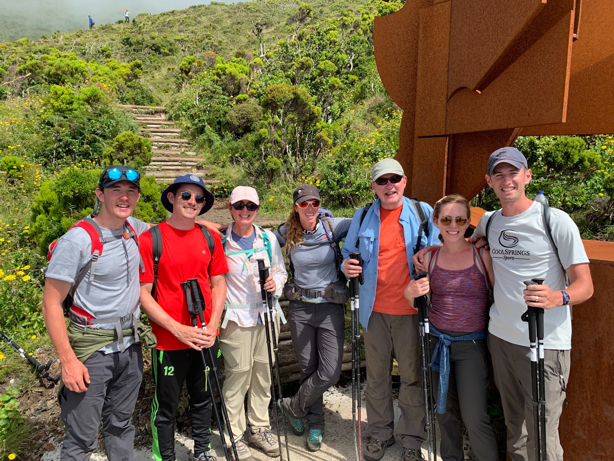
- You can climb Mt. Pico by yourself or with a guide. Unless you are an expert climber, it is recommended that you go with a guide. We went with a group led by Tripix Azores.
- You can do a one-day climb (up and down in one day), or you can climb up one day, stay overnight, and return the next day. We did the one-day climb that took about (9) hours (7:00 am - 4:00 pm). We began climbing at 7:00 a.m. We reached the top around 11:00 a.m. We rested and ate lunch for an hour from 11-12. The descent took us another four hours. We arrived at the base around 4:00 p.m.
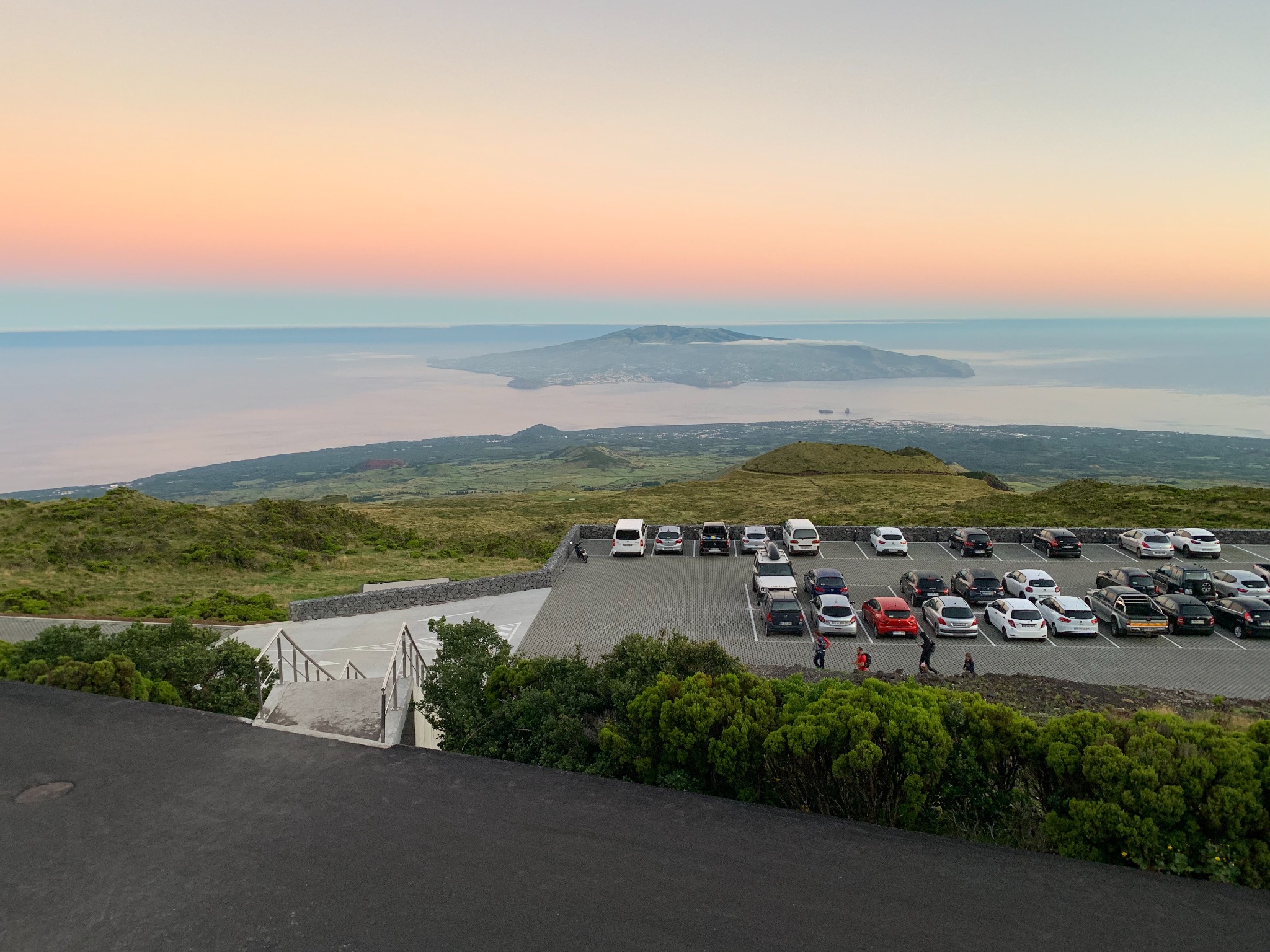
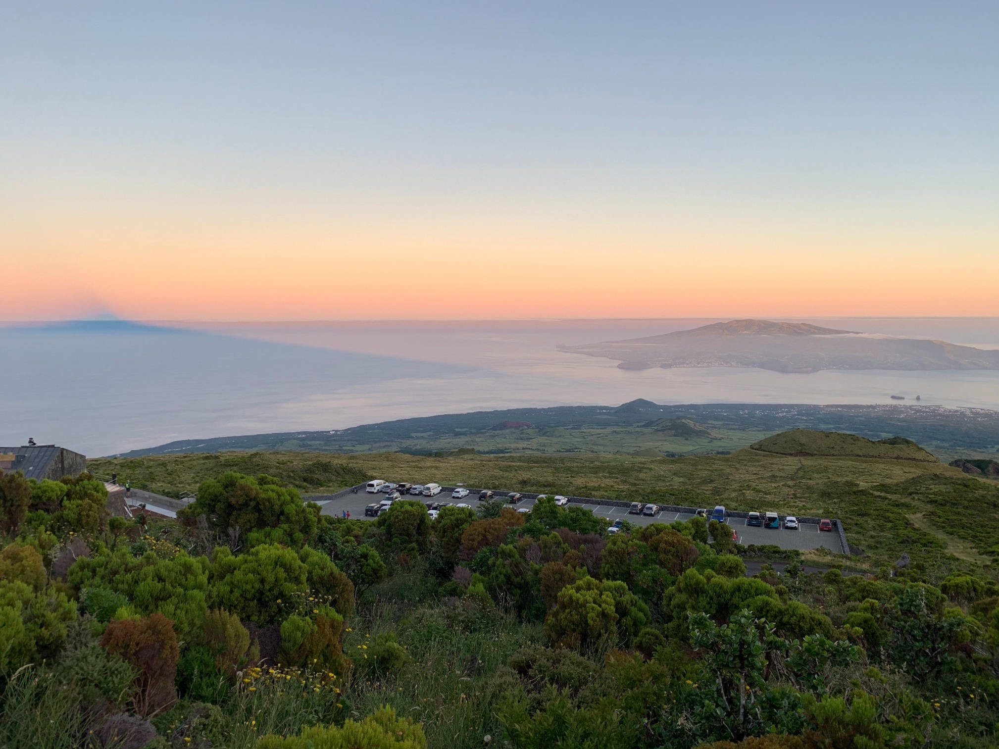
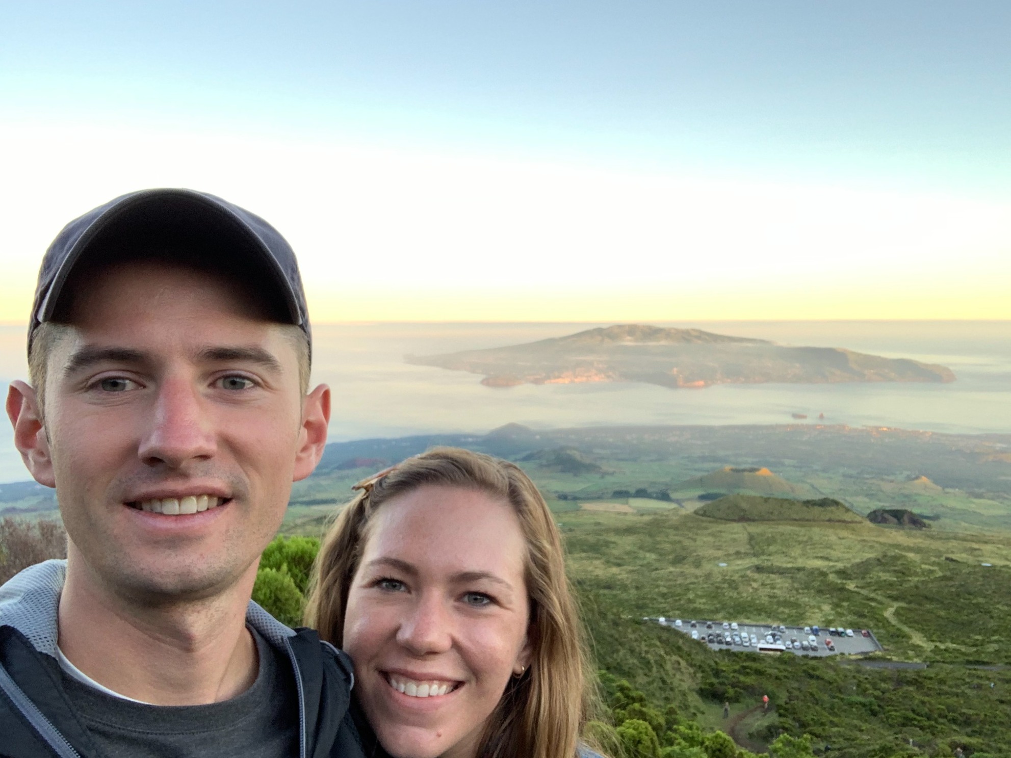
The Ascent
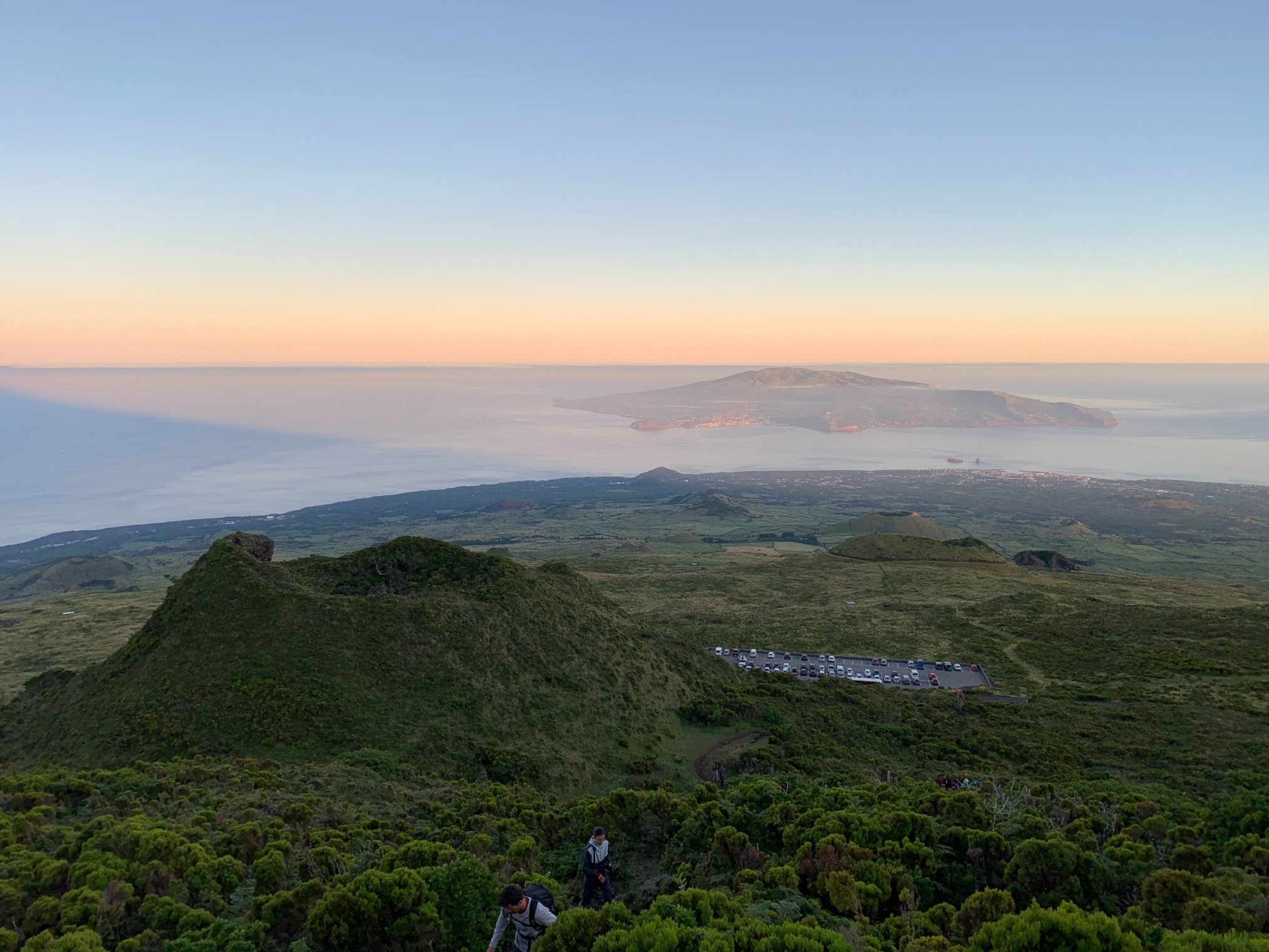
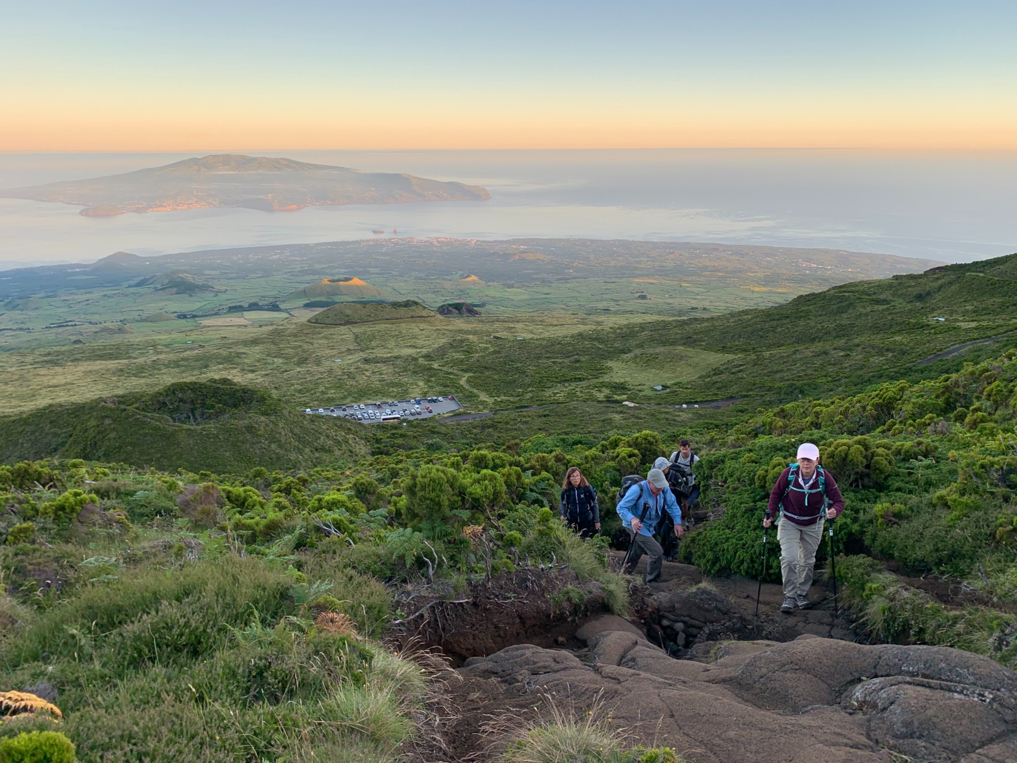
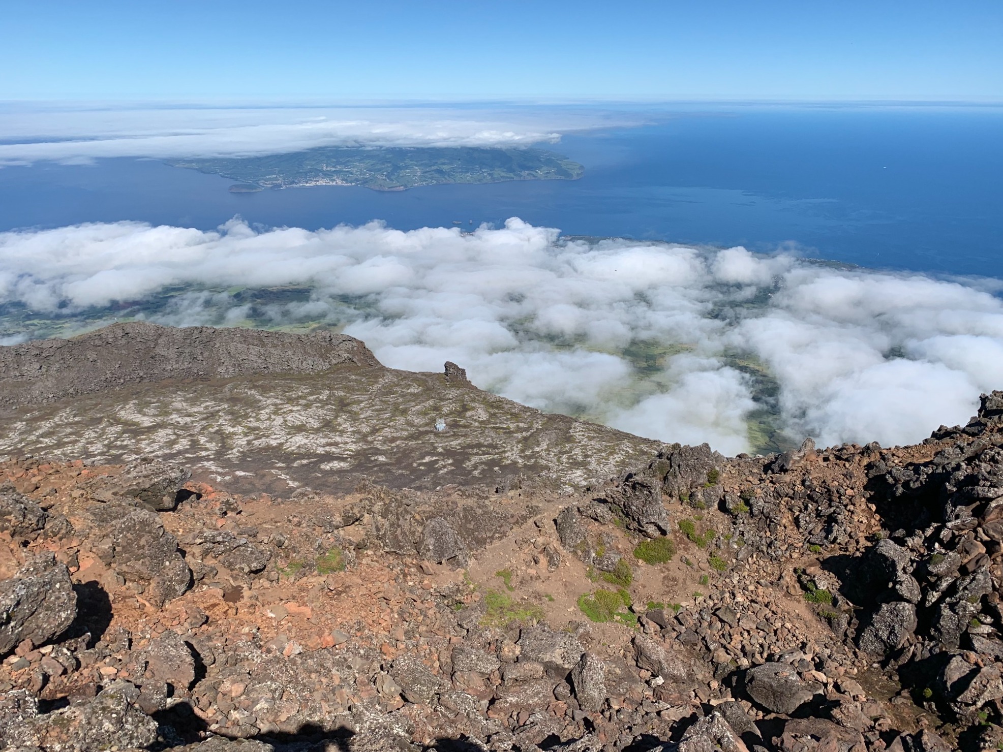
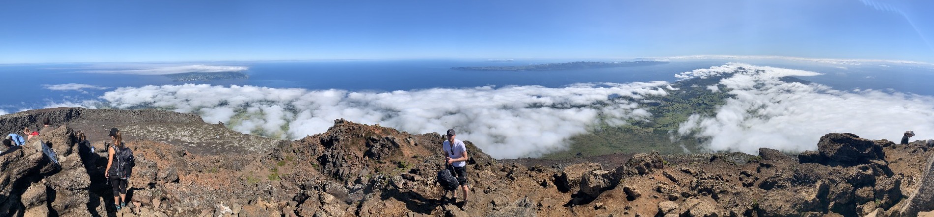
Do you see the island across the water behind the parking lot at the base of the mountain? This is Faial, the small island to the left of Pico with the capital city Horta that you can see on the map above. We are going to use this island as a reference point. As we climb up, you can see it become smaller and smaller in the background.
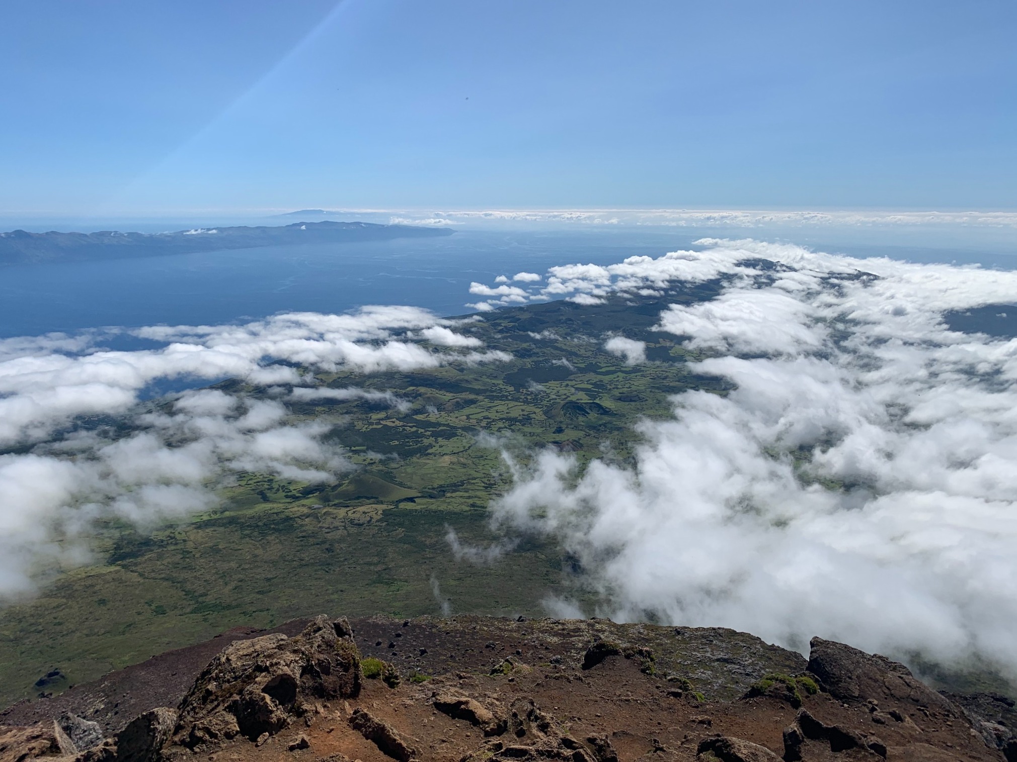
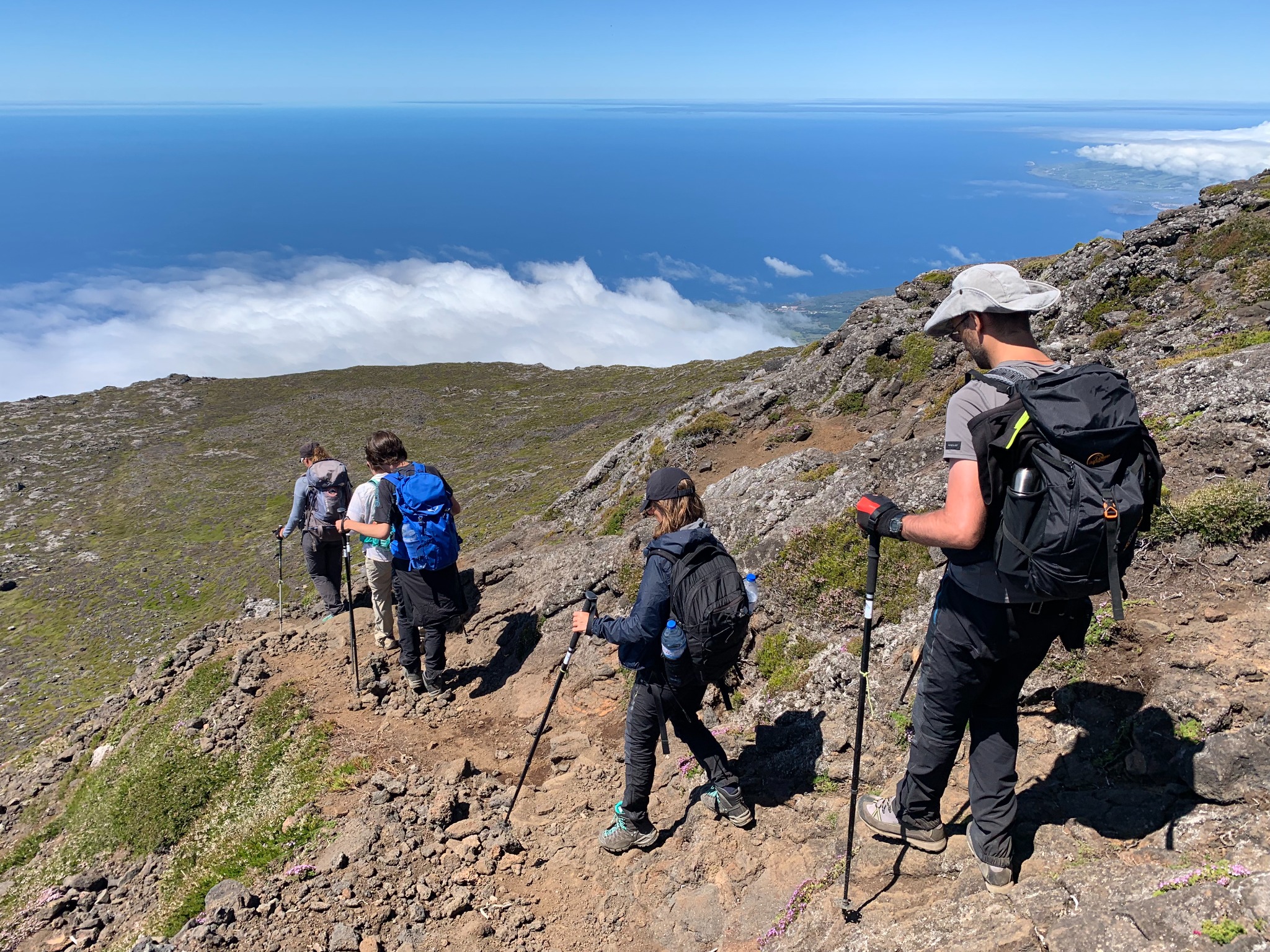
View to the East
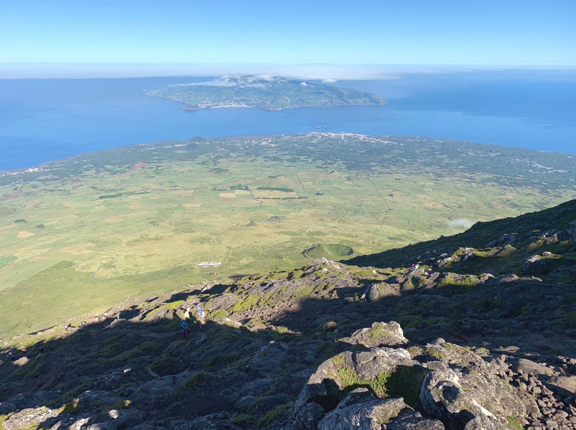
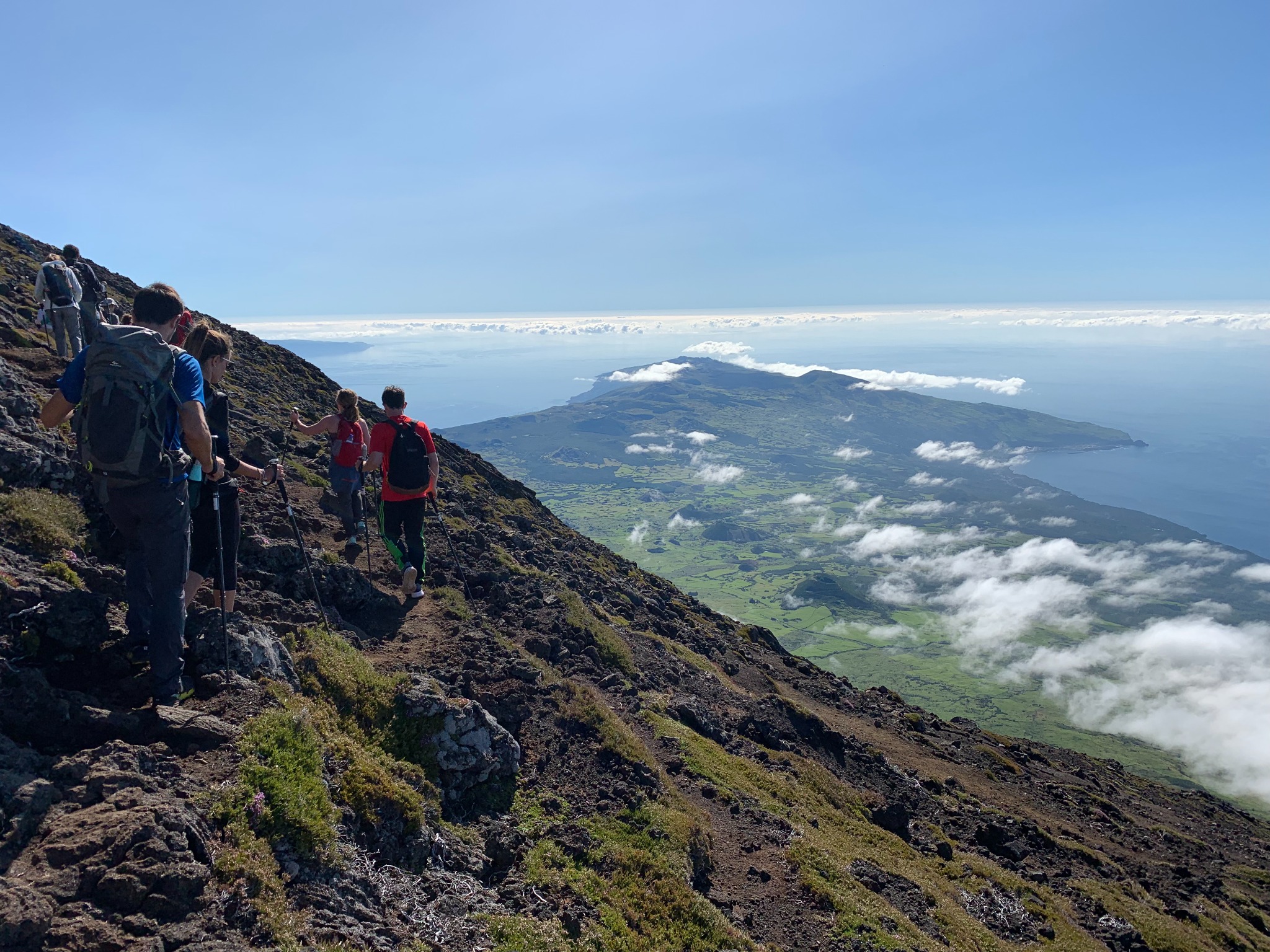
We have risen above the clouds! Below you can see the eastern extension of Pico Island. In the top, left quadrant of the photo jutting out just slightly beyond the mountainside, you can see the eastern tip of Sao Jorge, another Azorean island just north of Pico.
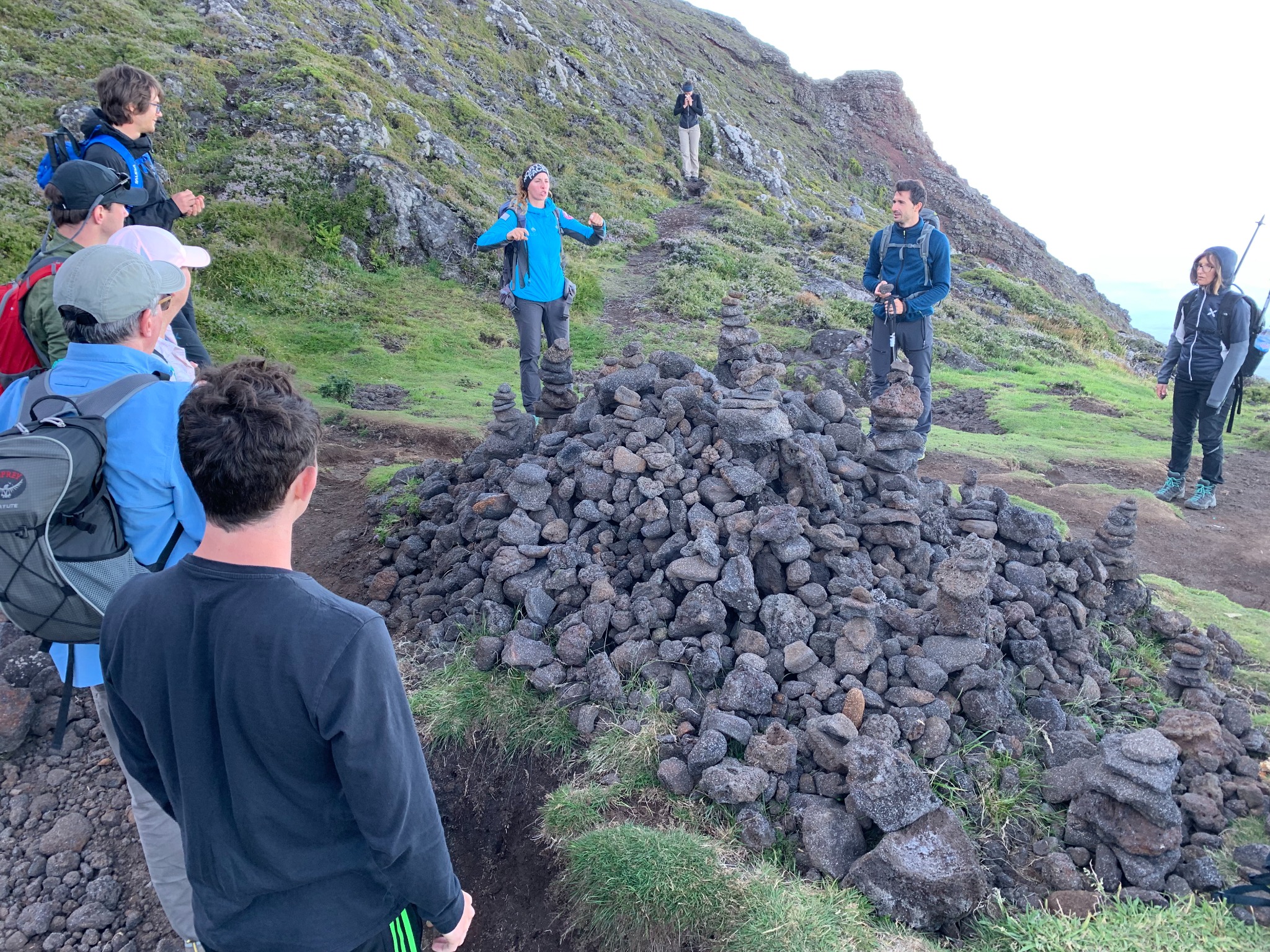
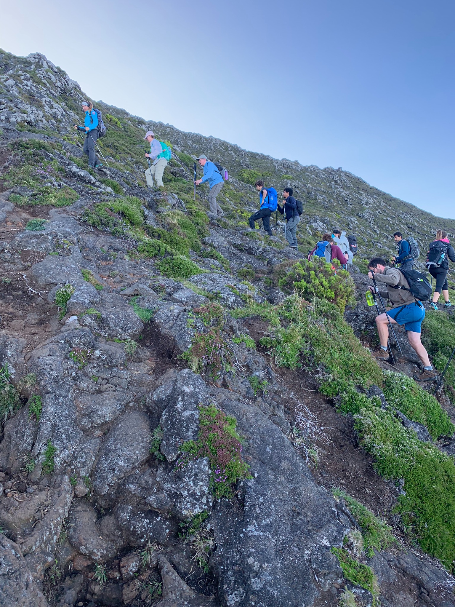
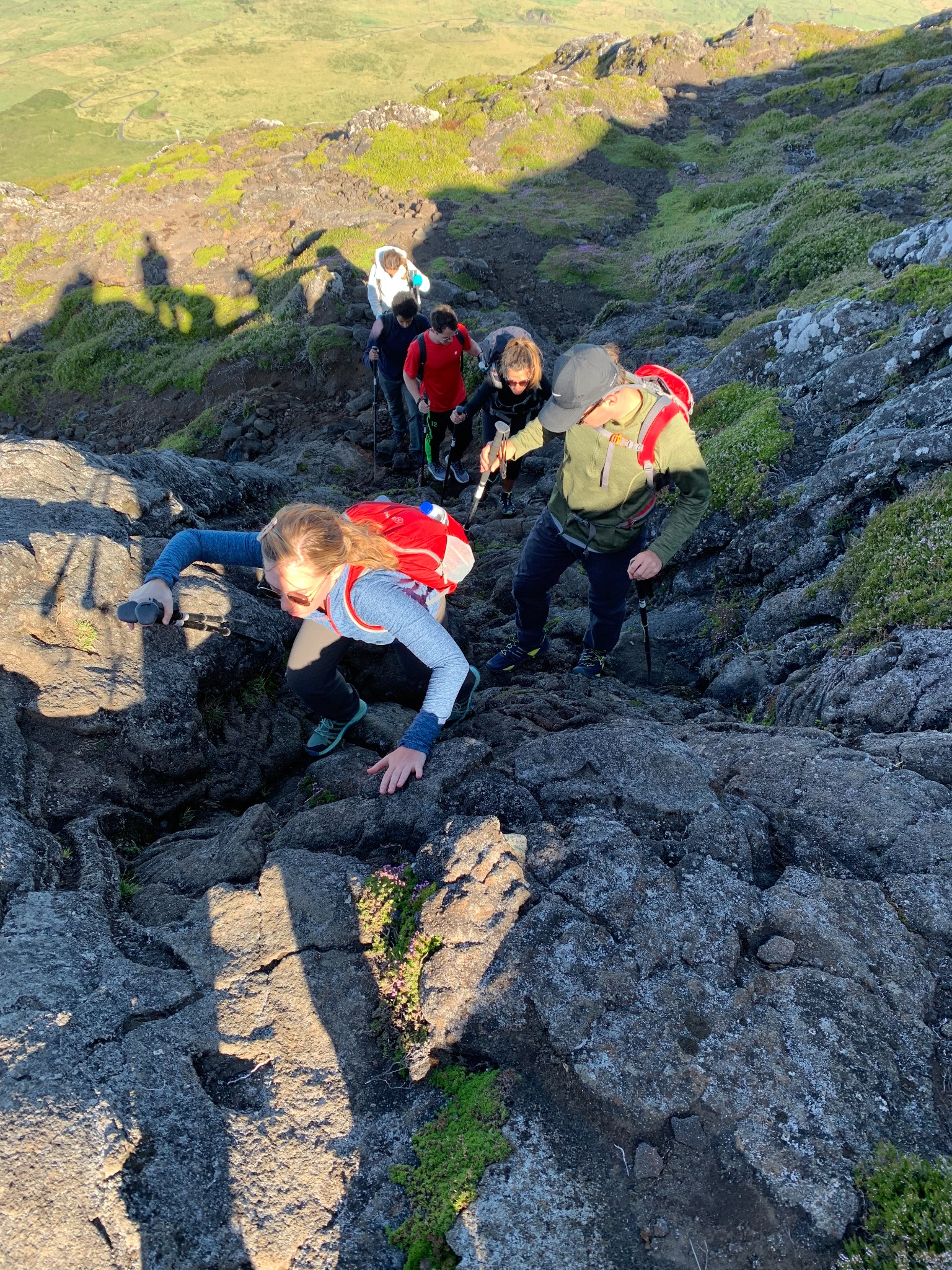
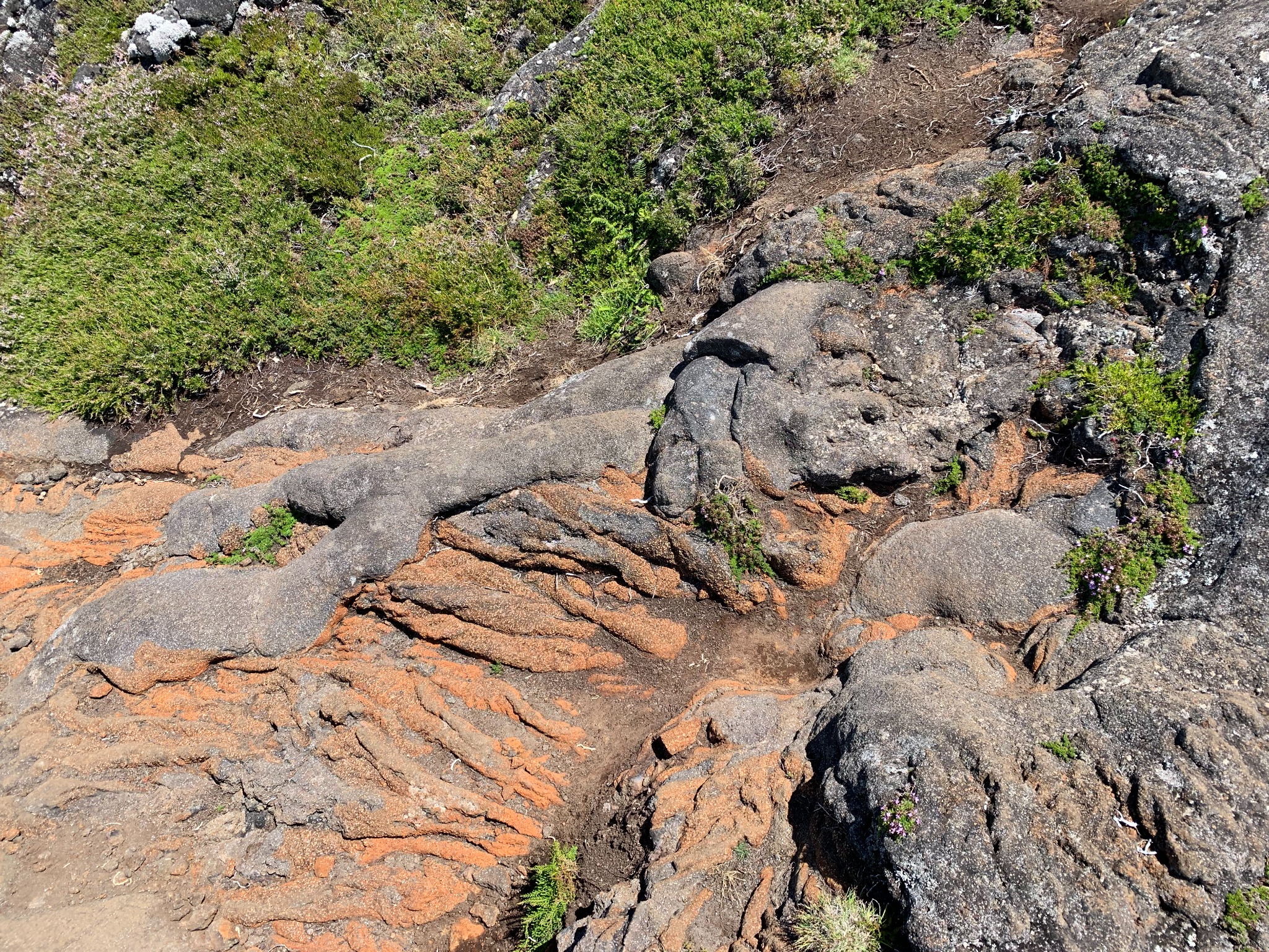
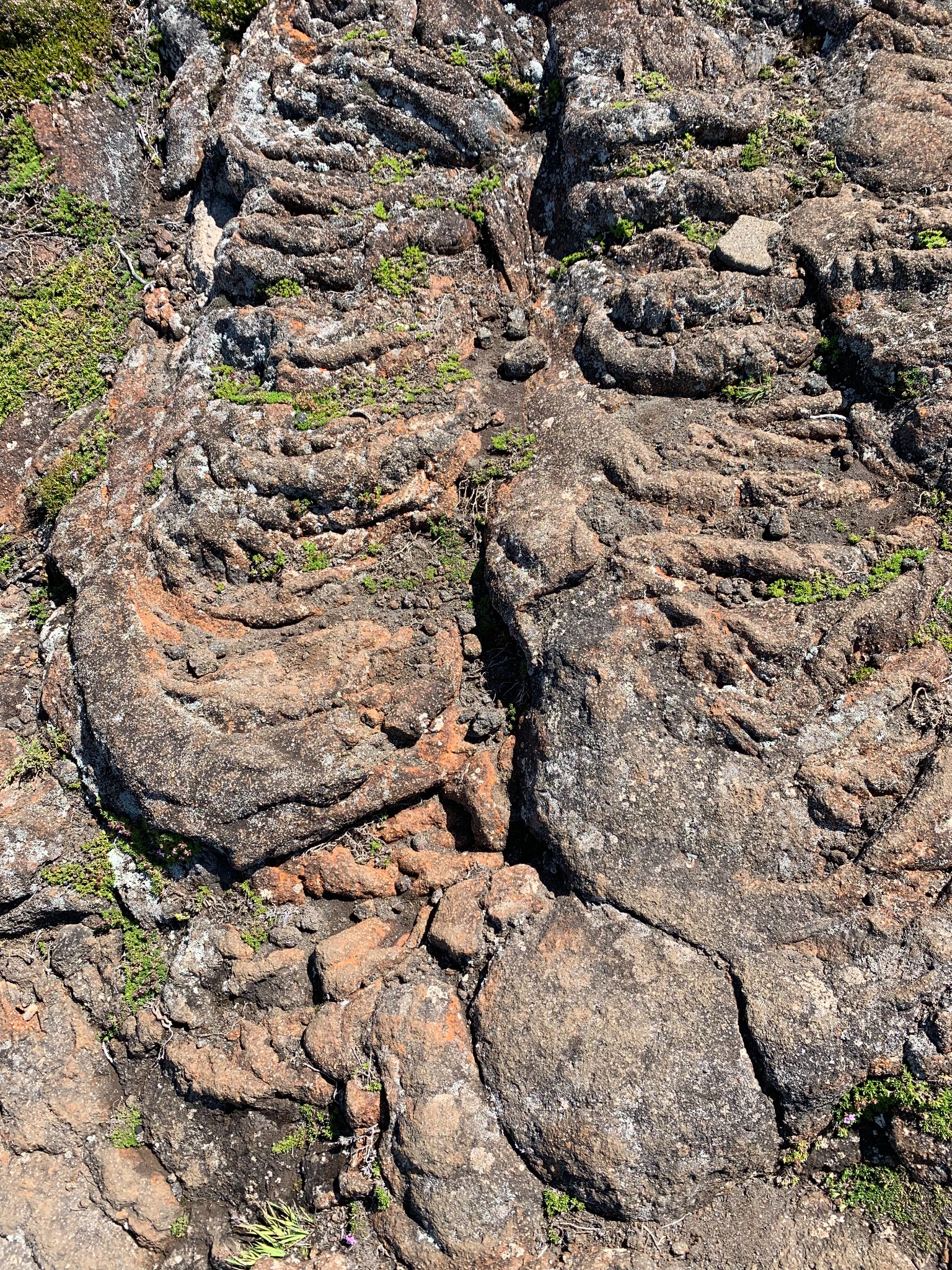
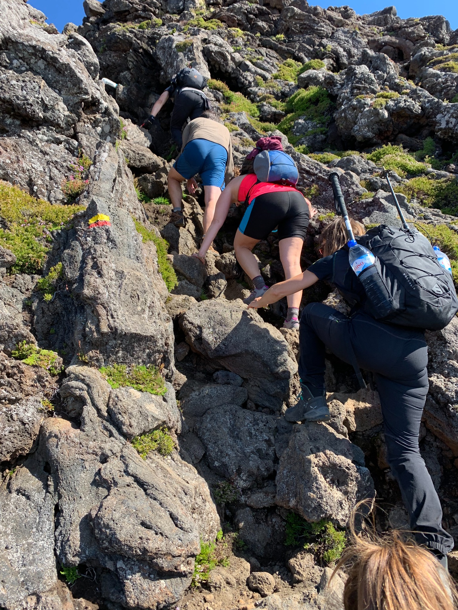
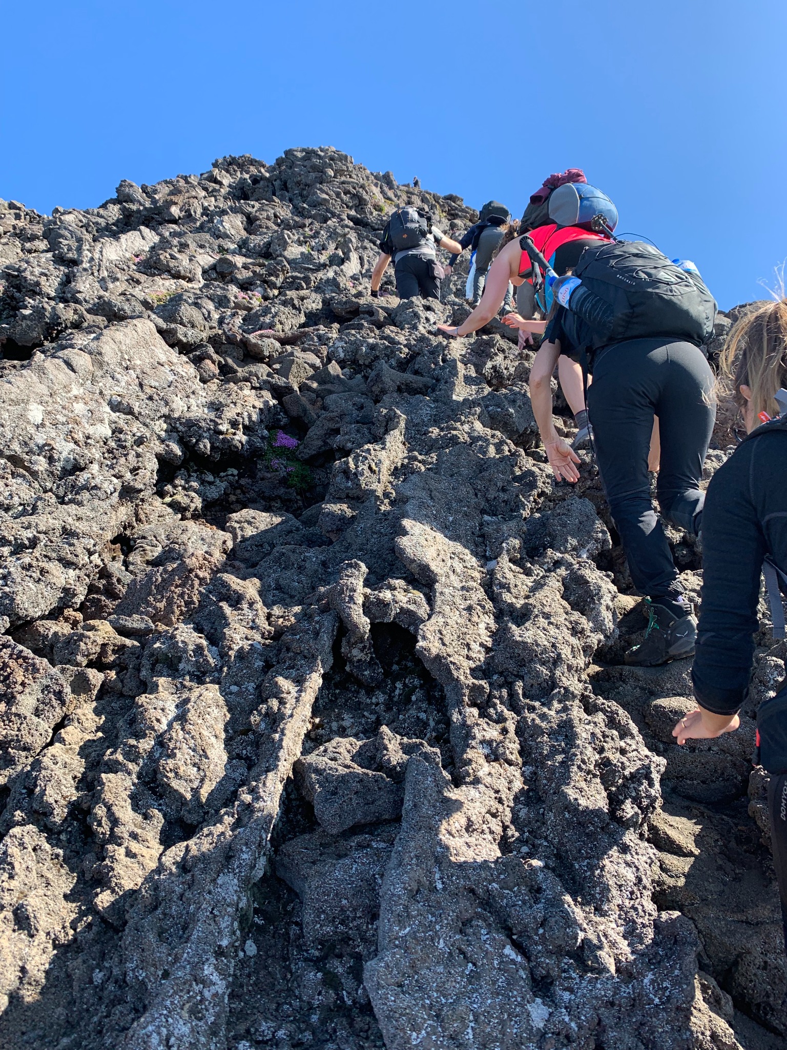
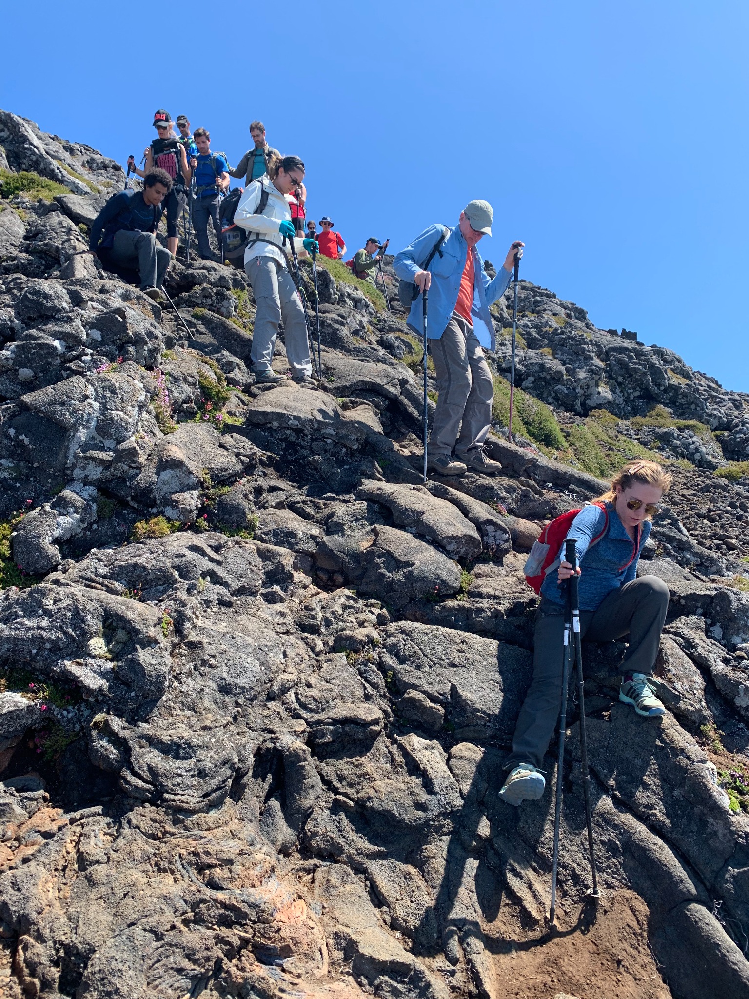
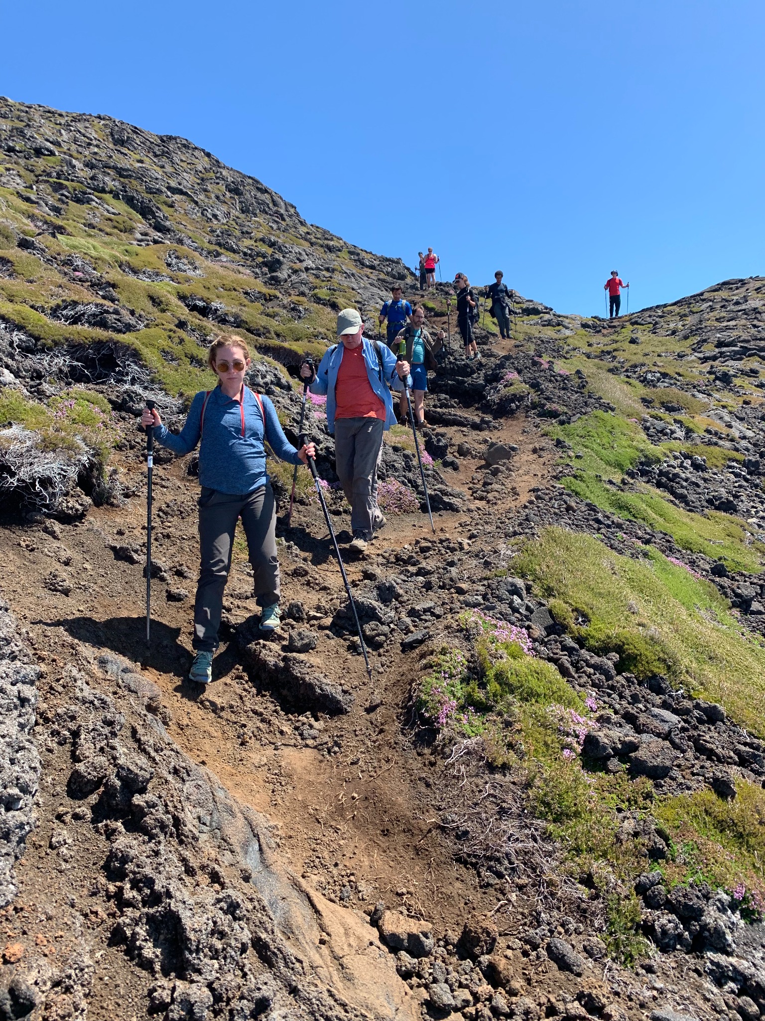
Steep and Rocky Terrain
Different climbs are challenging for different reasons. In some cases, the high elevation and thin air makes it hard to breathe. In the case of Mt. Pico, the steep and rocky terrain were what made this climb so challenging.
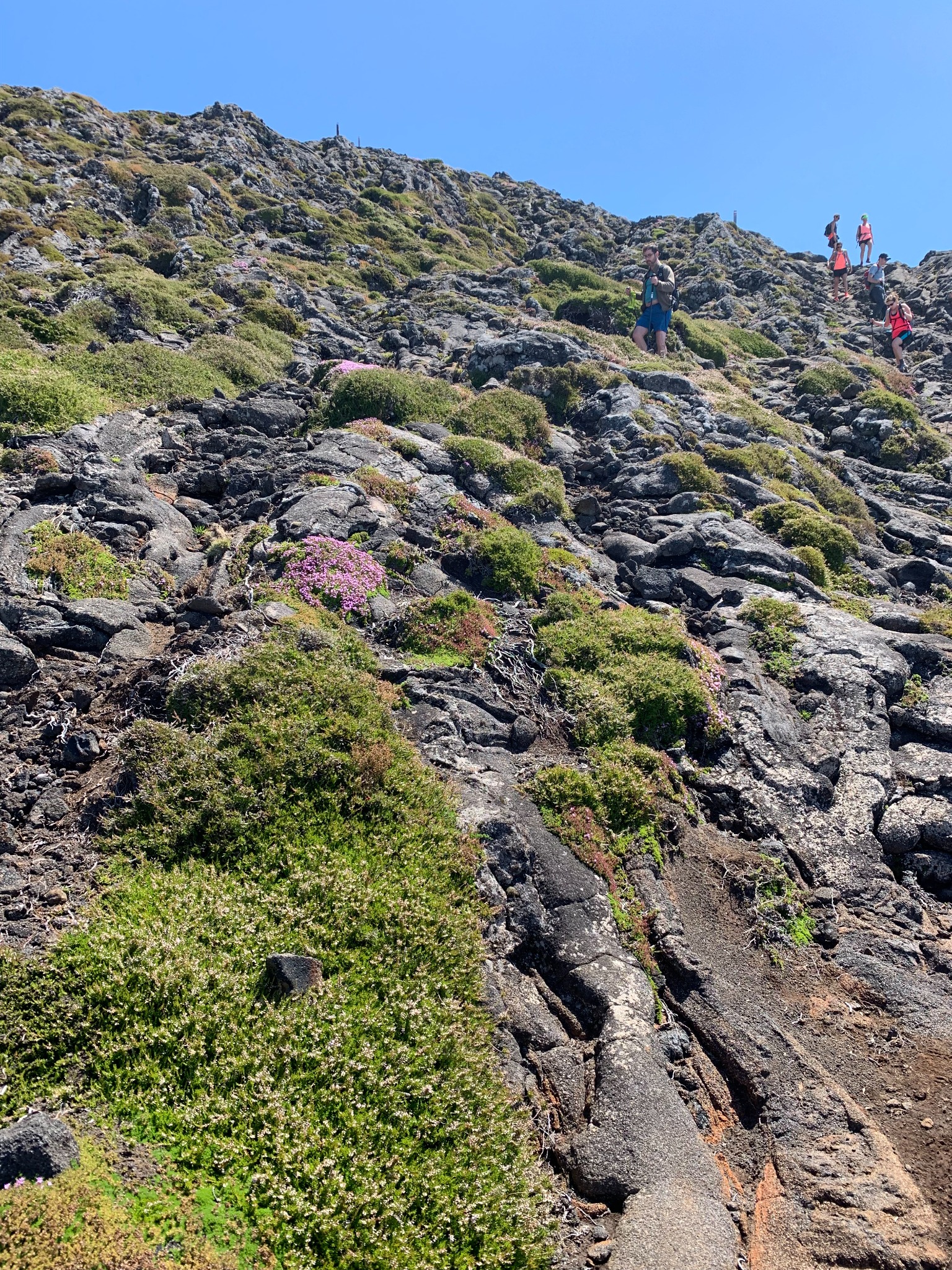
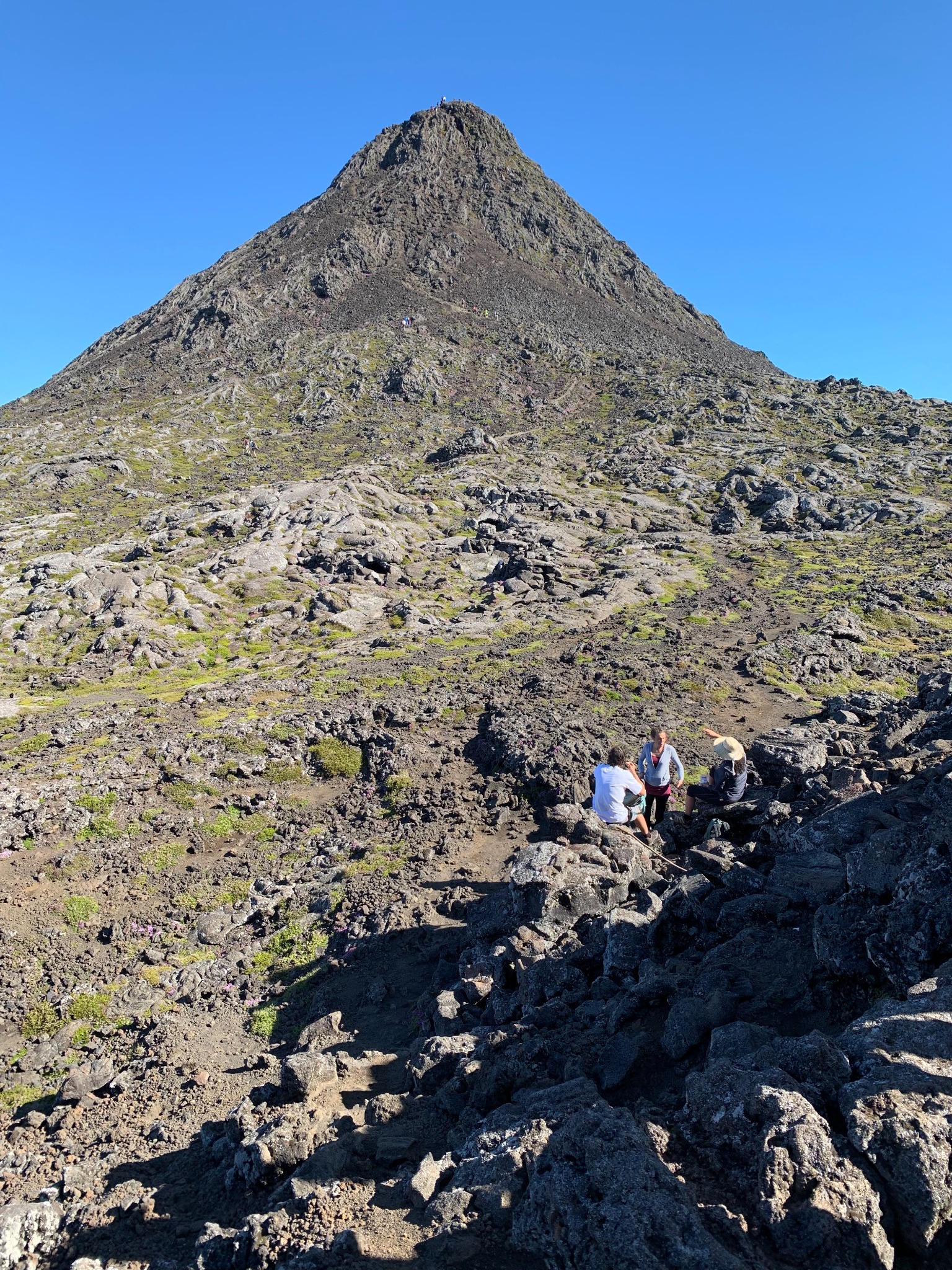
Piquinho
After climbing 2,280 meters (7,480 feet), you reach the base of Piquinho, or Pico Pequeno, a secondary volcanic cone located on the eastern flank of Mount Pico that stands another 70 meters (230 feet) tall. Piquinho is a parasitic cone, which means that it was formed by a separate eruption from Mt. Pico. The ascent to the peak of Piquinho is the most challenging part of the climb due to the increased steepness and altitude.

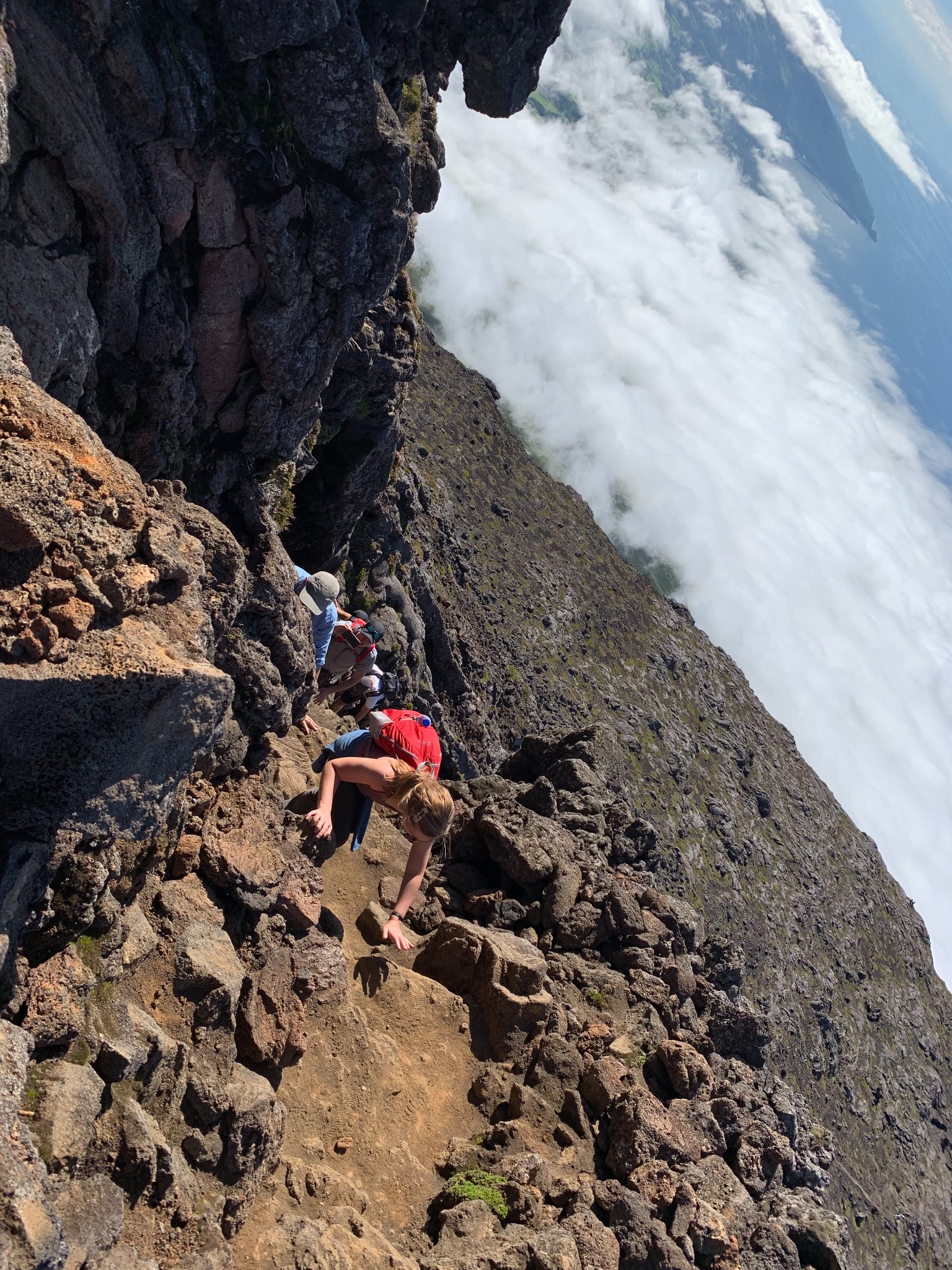
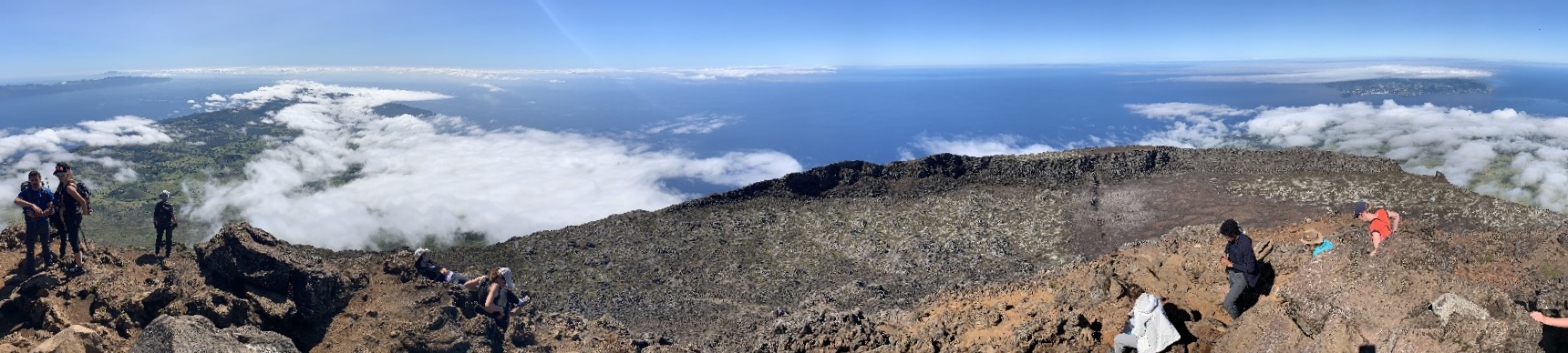
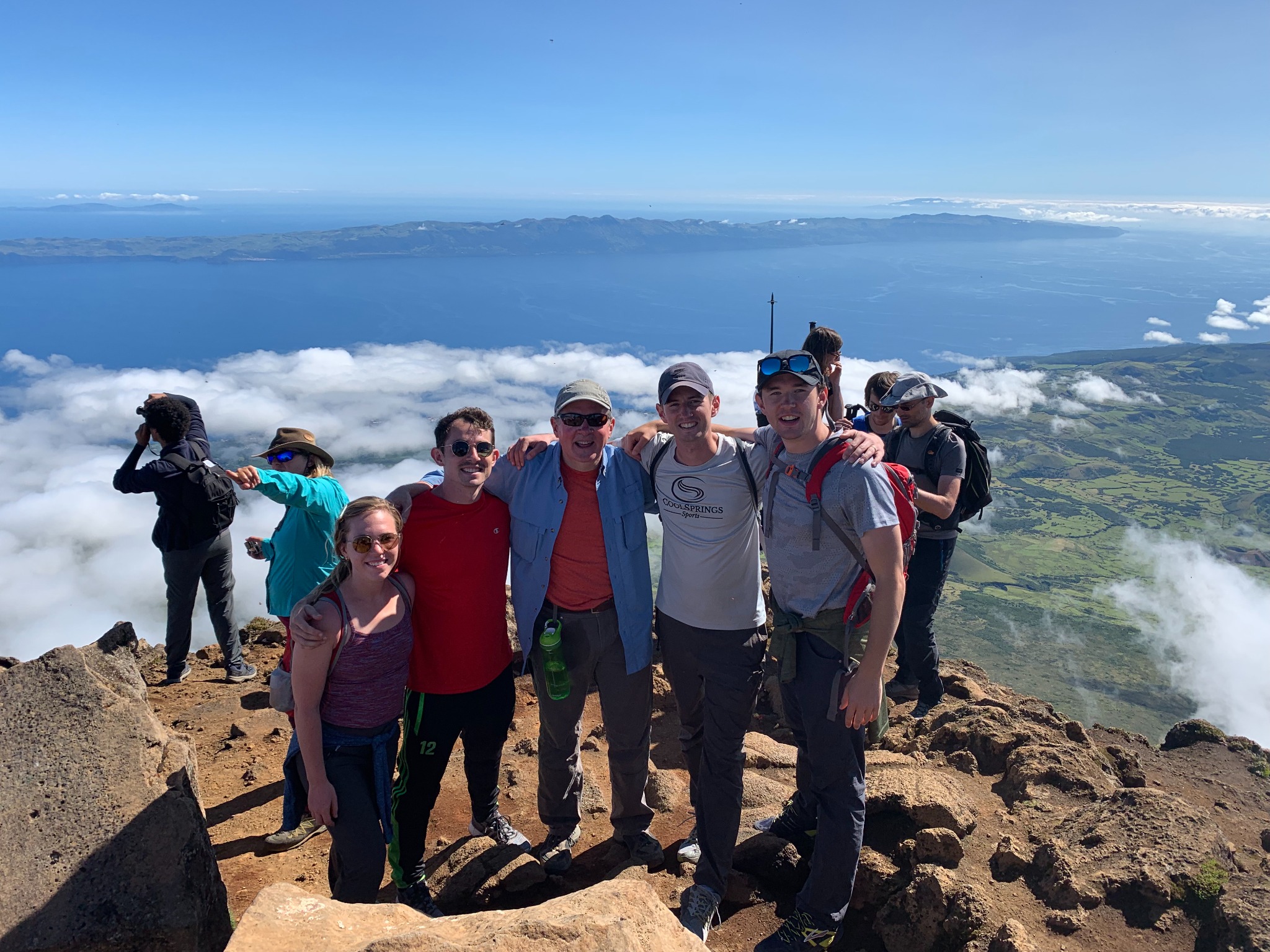
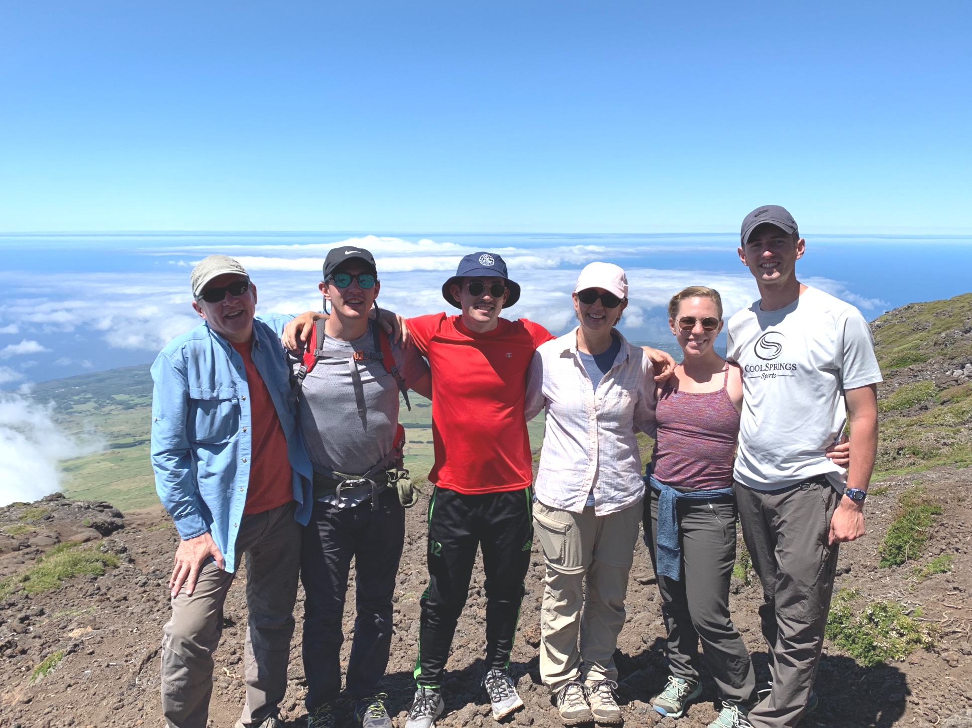
Views from the Summit
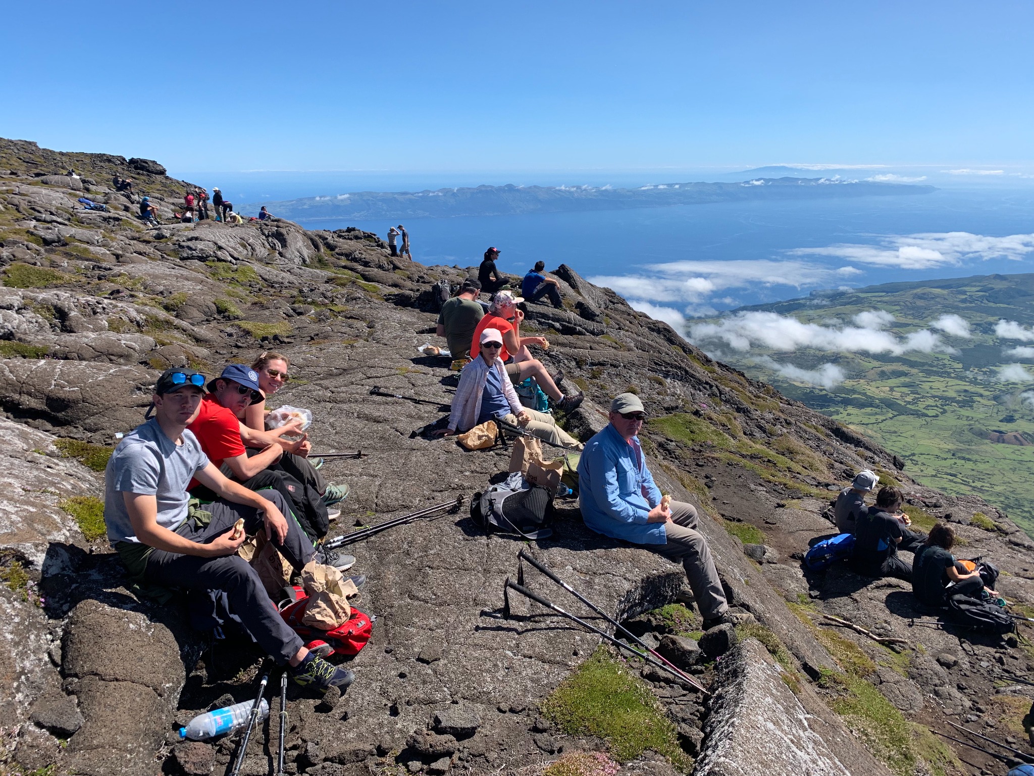
Lunch
The Descent
The descent was harder than the ascent. You are already tired from the climb and you have to be more careful due to the risk of falling if you lose your footing.
Post a comment